County Recorder
County Reports
About the County
County Armagh is one of Ireland’s smaller counties. Its vice-county is almost exactly the same as the county itself with the minor exception that it includes central Newry. In shape, it is twice as long from north to south as from east to west. The main urban areas are Craigavon (Portadown and Lurgan), Armagh City, and Newry. In human terms, it is one of the most densely populated counties in Ireland outside of the Belfast and Dublin conurbations.
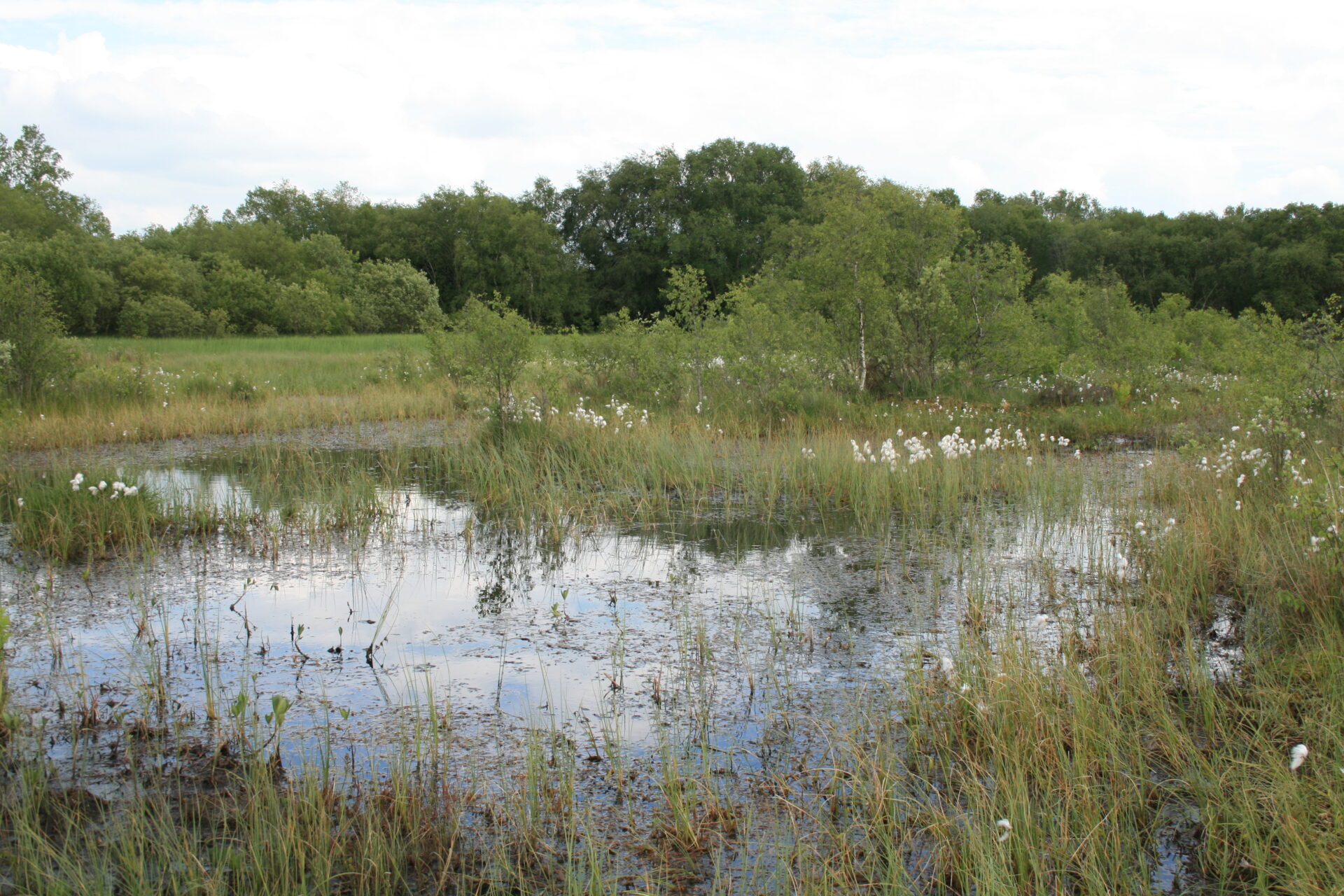
In the north, it includes the southern edge of Lough Neagh and a swathe of drumlin country overlying basalt, carboniferous limestone and tertiary clays, extending from Lurgan to Middletown. The landscape is one of fertile agricultural grasslands, broken by occasional estate woodlands and a concentration of apple orchards in the Loughgall district. Towards Lough Neagh, there is a substantial area of modified bogland at Peatlands Park and many smaller bog remnants. Lough Gullion is a shallow lake formerly contiguous with Lough Neagh.
The central zone and south-west corner consist of a belt of elevated ground underlain by older Silurian-Ordovician sedimentary rocks. Farm grassland again predominates, but there is also a significant area of conifer plantations on the higher ground. On the western side, there are several lakes of which Ross Lough near Crossmaglen and Clay Lake near Keady are the largest.
In the south-east, the mountain of Slieve Gullion is the focus of a scenic and geologically complex area of igneous rocks known as the Ring of Gullion. Its most significant lake is the reservoir of Cam Lough situated in the valley between Slieve Gullion and the adjoining Camlough Mountain. The county is almost, but not quite, land-locked: south of Newry, there is a short stretch of coast where the estuary of the Newry River enters the head of Carlingford Lough.
Most of the county drains northwards into Lough Neagh, via tributaries of the Upper Bann on the east side, or of the River Blackwater on the west. Both the Upper Bann and Blackwater are deep, slow-flowing, and navigable to small craft in their lower reaches. The southward-flowing rivers are much smaller and, with the exception of the Newry River, flow into Dundalk Bay through Co. Louth.

Plants of the county
In the wider world of plants, Armagh stands out for its apple orchards, its vegetable growing, its association with plant breeding, and the highly productive grasslands that occupy most of the landscape. To the specialist in wild plants, it offers several botanical sites of great interest, from the boglands of Peatlands Park in the north-west corner to the heaths, and flushes of Slieve Gullion in the south-east. There is a marked contrast between the more basicolous flora of the north, underlain by limestone or basalt, and the neutral to acidicolous flora of the south. The contrast shows up, for example, in the aquatic plants of lakes, though some of the more interesting aquatic species have been lost because of nutrient enrichment.
Many of the commoner wildflower species are most easily found on the verges and in the hedges of small country lanes – with which the county is luxuriantly endowed. Rarer native species are typically confined to specific habitats. Some introduced species are widespread, even ubiquitous, but others are only known in one or two places, often post-industrial sites within the towns.

Flora of Armagh Project
The renowned naturalist R. L. Praeger published a summary of the flora of Armagh in a series of papers in the Irish Naturalist, based on three weeks of study in 1892. There has been no more recent comprehensive account of the flora. Recording work undertaken in the 1960s, spearheaded by Patricia Kertland and Norah Dawson, produced a set of charts, issued by the Belfast Naturalists’ Field Club in association with the Armagh Field Naturalists’ Society. Locally-based recorders have contributed to the three successive BSBI plant atlases published for the periods up to 1962, 1999 and 2019.
The current Flora of Armagh project is now well advanced, with just one more year of recording to be undertaken. All records are being made at monad level (4-fig grid references) or better. The published maps will probably be mostly at tetrad (2km square) level. Rare or otherwise special plants are recorded to 6 or 8 figures. Much of the field work that remains to be done will entail either updated surveys of some key sites or populations, or infilling of deficiencies in the seasonal recording of some areas.
New discoveries are being made every year. In 2023, for instance, plants newly found in Co. Armagh include Hoary Ragwort Jacobaea erucifolia and Wall Barley Hordeum murinum. Equally important, the rare native Marsh St John’s Wort Hypericum elodes was discovered in a completely new site in the Ring of Gullion.
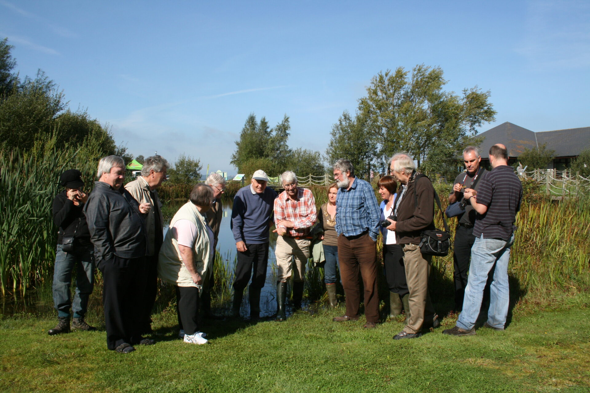
Most field recording excursions are planned at short notice to maximise the chances of suitable weather, but a few are included in the published programmes of either BSBI or the County Armagh Wildlife Society. If you would like to record for the project, or to receive further information, please get in touch with the County Recorder, John Faulkner, on either T 028 3889 1317, or email johndrumherriff@gmail.com.
