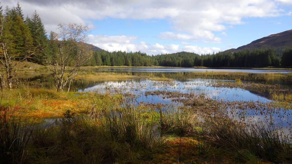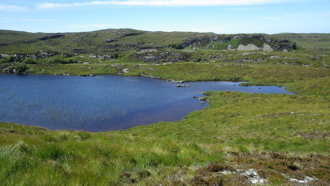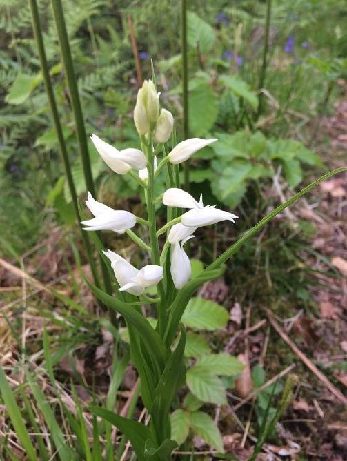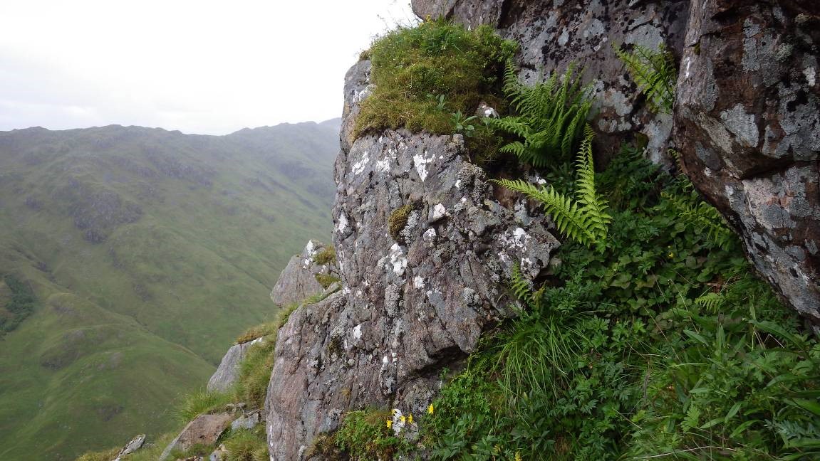
Westerness, also called West Inverness- shire, is the second largest vice-county in the British Isles at 44,796 km sq (Easterness is larger still!). Vice-counties are fixed geographical areas used for biological recording; unlike local authority areas, their boundaries have remained stable over the years. vc97 equates fairly well to Lochaber (i.e. the old Lochaber District, and current Highland Council ‘Area’) with two important omissions:
- The Small Isles – these are part of vc 104 (North Ebudes, which also includes Skye)
- The area south of Loch Leven, the River Leven and the Blackwater Reservoir (Glen Coe, Rannoch Moor, Duror etc) – this is in v.c. 98 (Main Argyll).
But Westerness also takes in two additional areas which are not in Lochaber:
- Creag Meagaidh and the Ben Alder range (part of Badenoch and Strathspey)
- Glenelg and the northern part of Knoydart (part of Lochalsh).
Elsewhere the boundaries are identical or very close. Westerness thus includes:
| Ardnamurchan | Morar | Grey Corries |
| Morvern | Knoydart | Onich |
| Kingairloch | Great Glen (Loch Oich southwards) | Mamores |
| Sunart | Glen Roy | Corrour |
| Ardgour | Creag Meagaidh | Ardverikie |
| Moidart | Ben Nevis | Ben Alder (part) |
Records and recording
Records of plants are very welcome, including all flowering plants, ferns and stoneworts.
A customised recording card is available but other cards can be used. A much shorter list (excluding coastal species) is available on request. Please mark cards clearly to help data entry, striking through the species name towards the BRC number. If possible 8 figure grid references should be provided for notable species – nationally or locally rare/scarce species, invasives, other species of conservation importance (e.g. BAP, TPP) – with notes on population size etc and identification where appropriate.
There is no Flora or checklist available (yet!) for Westerness but the following publications cover parts of the vice-county:
Hadley, G. (ed.) (1985) A map flora of Mainland Inverness-shire. Botanical Society of Edinburgh & BSBI. [excludes Ardnamurchan, Morvern, Sunart & Ardgour]. Out of print.
Dobson, R. (1983) The Vascular Plants of Northern Ardnamurchan. (Reprinted from The Glasgow Naturalist, vol 20 pp 313-331). Plurabelle Books, Glasgow.
County Recorders
Ian Strachan (whole v.c.) and Ian Bonner (Ardnamurchan, Sunart & Moidart)
County report for 2023Ben Nevis North Face Survey: Report
Click on the link to download the Report of the Ben Nevis North Face Survey. You can also read about the survey on the BSBI News & Views blog here and here.
