Dumfriesshire Botany Group meetings in 2024
Here are reports of this year's Dumfriesshire Botany Group meetings:
To view meeting reports from 2023, head to the Dumfriesshire Botany Group meetings archive page.
Want to see plants in the wild?
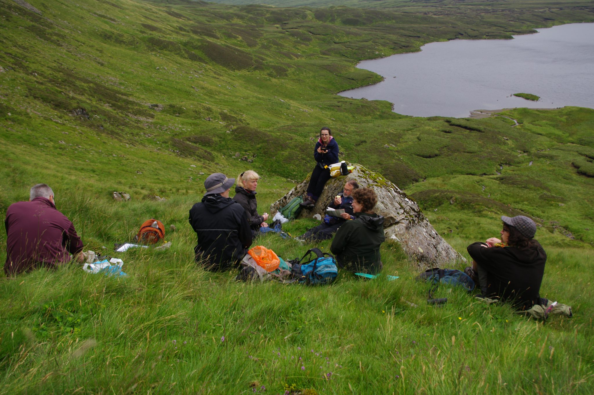
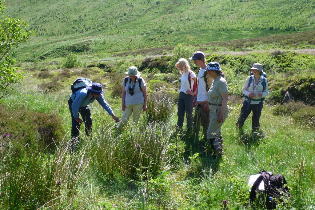
Anyone who is interested in botany in Dumfriesshire is welcome to join the group. We are a friendly group who all share the delight of finding and enjoying wild flowers in the countryside. For some that is enough and for others they want to learn more about the plants, their distinctive features, distribution and habitat preferences. All are welcome. All field meetings are either on a Wednesday, Thursday or Sunday and we try to also have occasional indoor meetings and training days. All start at 10:30 a.m. Bring a packed lunch if staying for the afternoon and suitable clothing for being outdoors in the cold and wet (but hope for sun) and off road. For further information please get in touch with Chris Miles the County Recorder.
Geography
The vice county of Dumfriesshire extends to 2753 km2. It occupies a central southern section of the Southern Uplands with the county boundary more or less following the natural watershed in the north and east of the County and the coast along the south. It rises from sea level in the Inner Solway Firth to 821m (2695ft) at White Coomb in the Moffat Hills. It has three main river valleys and their tributaries all flowing south to the Solway Firth. These are from west to east the River Nith, partly shared with Ayrshire v.c. 75 to the north and small parts of Kircudbrightshire v.c. 73 to the west of Dumfries, the River Annan, partly shared with Lanarkshire v.c. 77 north of Beattock and the River Esk which is partly shared with Cumberland v.c. 70 east of Gretna.
Geology
There is a general SW-NE trend in the underlying rocks forming the southern Uplands with the older rocks lying to the north. Therefore the oldest rocks in the County, which are of Ordovician age, occur in the NW of Nithsdale. The main rocks underlying most of the county are Silurian age (444 to 416 million years ago). Both Ordovician and Silurian rocks are sedimentary, largely laid down under the ancient Iapetus ocean, either in deep or more shallow water. The rocks are greatly folded and faulted and in places yield important fossils like the graptolites at Dobs Linn in the Moffat Hills. In some places where water percolates through they give rise to mildly calcareous conditions. They are overlain in some places by Carboniferous and Permian rocks. Carboniferous rocks (360-299 million years ago) were laid down in shallow water in tropical conditions and occur in the north west around Sanqhar, in the Thornhill area and in the south east along the Solway coast. They have been or continue to be exploited for coal and for building stone from quarries in the Kirkconnel and Sanqhar area and around Canonbie and Annan. The Permian rocks (299- 251 million years ago) are red in colour having been laid down in deserts and are found in shallow basins at Dumfries, Thornhill, Moffat and Lochmaben with a ribbon near Annan. This provides the excellent red sandstone characteristic of many buildings in these settlements.
Early in the Carboniferous, sediment deposition was interrupted when lava erupted and gave rise to localised basalt flows. These are most conspicuous on the Burnswark (Birrenswark) hills north of Eccelfechan but can also be seen exposed in river beds (e.g. in the River Esk below Skipper's Bridge south of Langholm).
Any younger sedimentary rocks that might once have covered Dumfriesshire have been eroded away. The youngest rocks to survive (65 million years ago) are vestiges of the massive volcanic activity that accompanied the opening of the Atlantic Ocean. Dykes of this age can be found, cutting across the older rocks. The Eskdalemuir dykes, though only a few metres across, can be traced all the way from northern England back to an ancient volcano on Mull.
About 2.6 million years ago at the beginning of the Quaternary the climate changed to a cycle of warm periods and cold glacial advances. The most recent glaciation, the one leaving the clearest evidence today, took place some 20,000 years ago. It is thought that the Southern Uplands was probably covered in ice at this time. From about 15,000 years ago the climate warmed, the ice sheet and valley glaciers melted and large volumes of sediment were transported by melt water. 12,500 years ago, although all the large glaciers had disappeared there was a short period during the Loch Lomond re-advance lasting about 1000 years when small corrie glaciers reappeared in the Moffat Hills. In the uplands the effect of ice can be clearly seen. The deepened U shaped valley of Moffat Dale is a product of a valley glacier. Areas of lumpy gravelly moraines like those above the Grey Mares tail are also typical where glaciers melted. Many of the screes and craggy rock faces we have today date from this period.
Much of the landscape though including the floors of the main rivers and their tributaries and most of the hills are covered by a layer of glacial debris made of mixtures of boulders, gravels and clays. These accumulated as ice sheets and valley glaciers melted and receded. Many valley floors today contain small 'misfit' rivers within broad corridors of flat floodplains bounded by higher river terraces. The valleys were last significantly shaped by the huge torrents of meltwater which flooded the same valleys, as the glaciers started to melt. In places hill slopes have seen dramatic gullying in this glacial debris since the removal of the original woodland about 3000 years ago.
The melting glaciers and ice led to a rise in global sea level. Along coastal areas of the Solway, the land continued to rise due to isostatic lift long after the rise in sea level had slowed. This has resulted in saltmarsh terraces along the coast. It also led to beach barriers blocking the sea from shallow inlets. In such places the change to freshwater on low lying ground has allowed the deep peat deposits like those at Longbridgemuir to develop.
Climate
Eskdalemuir sits in the north east corner of Dumfriesshire close to the centre of the Southern Uplands at 236m (774ft). The July average is 18oC and the January average is -1oC. The average rainfall is 1538mm (61 inches) with rain/drizzle on average on 224 days each year.
Dumfries sits in the south west corner of Dumfriesshire close to the Solway Firth at 49 m (160ft). The July average is 18.5oC and the January average is 0.7oC. The average rainfall is 1047mm (41.22 inches) with rain/drizzle on average on 192 days each year.
The main landscapes and habitat variation together with some botanical highlights
The landscapes and principle habitats of the County were divided into 10 broad categories in the only published flora for Dumfriesshire by Scott Elliot* in 1896 and I am using his definitions with a few modifications as they are helpful to give an overall picture. These areas are not clearly defined on a map and elements of one grade into another depending on local geology, slope and climate. The descriptions greatly simplify the complexity of detail in each case for the sake of brevity.
I have given a brief account of some of the botanical highlights that might be encountered in the 10 broad landscape areas described. Many species including those mentioned are of course often not restricted to one part of the county or to one of these broad landscape types. There are also many other typical species I could have mentioned. This is not therefore intended to be a comprehensive account but rather a pen picture to give a general feel for what the County has to offer the botanist .
Coast
The narrow coastal strip runs between the border at the river Sark and the river Nith (about 20 miles). It is largely composed of soft sediments derived from riverine material and sediment washed into the Solway from the Irish sea. The back of the shore is largely composed of glacial material forming low, soft, eroding cliffs. The only exposed rock are occasional sandstone exposures in the intertidal area. Along the coast the main habitats are extensive mudflats and saltmarsh (merse) with limited areas of sand and shingle beaches. There are a few hard sea defences enclosing former saltmarsh.
On the coastal strip the most significant natural habitat is the saltmarsh. This occurs along most of the coast between the Nith and the Sark at Gretna. In places the saltmarsh is very broad and accreting, in others it is retreating and strongly eroded. In paces there is an unbroken transition from pioneer saltmarsh to freshwater communities. This is best developed at Caerlaverock NNR. Local plants found along this coastline include Hierochloe odorata, Centaurium littorale, Blysmus rufus, Blysmus compressus, Oenanthe fistulosa, Teesdalia nudicaulis and Coincya monensis subsp. monensis. It is the only place to find Carex otrubae. On the mudflats pioneer saltmarsh includes Salicornia sp. .
Lower river valleys and coastal plain
These areas are on glacial and fluvial deposits and provide the best quality farmland where arable rotation and pasture is the principle landuse. The main rivers themselves occasionally flood over the floodplain and in places retain braided channels and gravel banks. Old meanders are occupied by some oxbows. The margins of river valleys are often steeply terraced and this steeper ground sometimes retains fragments of native woodland.
The area is dominated by the most productive farming activity in the county. There are significant populations of some arable weeds such as Glebionis segetum. The river banks, gravels and flood zone support interesting willow complexes with Salix x pontederiana recently confirmed north of Dumfries. Platanthera bifolia is now known only from unimproved old grassland within an industrial site. The same site has Ophioglossum vulgatum as do a couple of other locations. Orobanche rapum-genistae occurs in several sites in the lower Nith valley where gorse and broom become established.
Mixed farming
This is the major land use on ground up to about 250m altitude. This is more likely to be arable where drainage is good but more extensive where drainage is poorer or on steeper slopes where hill sheep and cattle grazing take over. Forest shelter belts or larger plantations are scattered through this area as are a few more substantial native woodlands or policy woodlands around larger houses.
This area includes higher sections of river valleys and steeper slopes, where ploughing and fertilizer use has been more limited but where arable fields still occur. Where there is unimproved pasture with some flushing Carex hostiana and in the east Valeriana dioica are often present. Euphrasia officinalis ssp. pratensis can be found along water courses. Crepis mollis, and Blysmus compressus are both know from single sites. Gymnadenia borealis occurs on some eroding river “cliffs”. Galeopsis speciosa is frequent in arable fields although Stachys arvensis is very uncommon. In Nithdale there are a couple of inland populations of Carlina vulgaris on shallow stony soils.
Hill farmland and forestry
Hill farming and forestry takes over at 250-300 and extends to 500m because regular cultivation is not possible where the soils are too skeletal or slopes too steep. This zone has seen the greatest land use change since Scott Elliotts time and in particular forestry has replaced large areas of grassland and moorland over the last 100 years. About 30% of the county is now covered by forestry plantations and extensive forests at Ae and Eskdalemuir for example have transformed whole landscapes. The remaining grasslands that are grazed are often derived from dwarf shrub communities and are impoverished versions of wet and dry heath. A few areas of heathland remain particularly where grouse shooting is a consideration.
The plantations tend to be uninteresting though they may retain features of interest where planting has not taken place, such as on deep peat. The pastures are generally acid grassland or heath and can be pretty species poor but in the far west can have Meum athamanticum and Carum verticillatum and further east Circium heterophyllum. Where there is some flushing or along water coursesspecies such as Helictotrichon pratense and Helianthemum nummularium occur alongside Carex dioica, Parnassia palustris, and Trollius europeaeus. Rarer finds include Eriophorum latifolium, Juncus alpinoarticulatus (at one site only) Coeloglossum viride, Gentianella campestris and Platanthera chlorantha.
Native woodland
Native woodland is present mostly in small fragments in deep linns, along rivers or on steep slopes. Particular concentrations remain where larger estates have ensured continuity of management for amenity or sporting reasons such as in mid Nithsdale and around Langholm. The main woodland type is ash/elm. There are a few oak dominated stands which probably derive from planted stock and birch on organic soils. A few small stands of juniper also survive.
Woodlands that are long established tend to be fragmentary but have populations of Carex sylvatica, Phegopteris connectalis, Gymnocarpium dryopteris, Orchis mascula and Sanicula europaea. Less frequent are Lathraea squamaria, Neottia nidus-avis and Epipactis helleborine. Corallorhiza trifida is known from one wet woodland site and Gnaphalium sylvaticum is now very uncommon.
Reference in this introduction was made to:-
Clarkson, E. and Upton, B. 2010. Death of an Ocean. Dunedin Press
McMillan, A. and Stone, P. 2008. Southwest Scotland A landscape fashioned by Geology. Scottish Natural Heritage
Scott-Elliott, G.F. 1896. Flora of Dumfriesshire. J. Maxwell & Son.

Rare Plant Register - second edition
Following the completion of the Atlas 2020 recording in 2019 I undertook an update of the rare Plant Register for Dumfriesshire. This second edition of the Register includes nearly 1000 new records mostly collected over the 4 seasons 2015-2019. The Register includes species that are not scarce but habitat restricted, not scarce but declining, scare or rare in Dumfriesshire. A number of species have been delisted for various reasons some because they are better recorded and not as uncommon as previously thought. A small number of species are added as they are new natives or archaeophytes to the County or were previously thought extinct. Here is the Dumfriesshire Rare Plant Register 2020.
